1852 Walling Map of Concord
Title
1852 Walling Map of Concord
Subject
Damon Mill Exhibit
Description
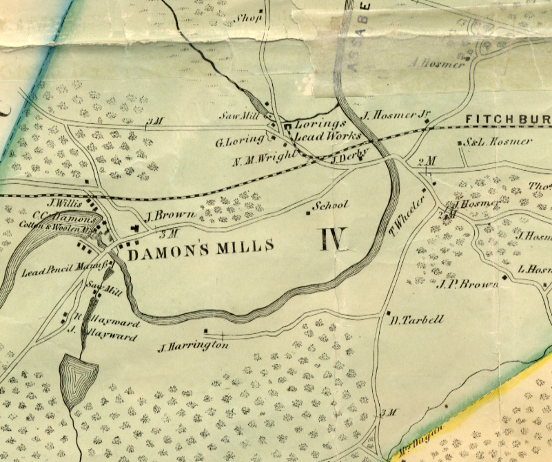
1852 Walling map of Concord with Damon Mill.
Image description: A color map of the Damon Mill area. Various homes and businesses are labeled on the map, as is the railroad.
Image description: A color map of the Damon Mill area. Various homes and businesses are labeled on the map, as is the railroad.
Rights
William Munroe Special Collections, The Concord Free Public Library
Publisher
William Munroe Special Collections, The Concord Free Public Library
Date
1852
Format
jpeg
Language
English
Type
image
Files
Citation
“1852 Walling Map of Concord,” William Munroe Special Collections at the Concord Free Public Library, accessed July 15, 2026, https://sc.concordlibrary.org/items/show/4940.